Showing 1–12 of 58 results
-
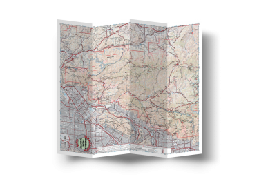
Angeles Front Country
Add to cart -
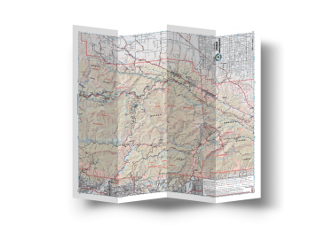
Angeles High Country
Add to cart -
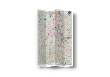
Ansel Adams Wilderness
Add to cart -
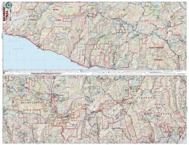
Backbone Trail
Add to cart -
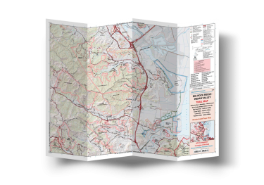
Big Rock Ridge-Indian Valley
Add to cart -
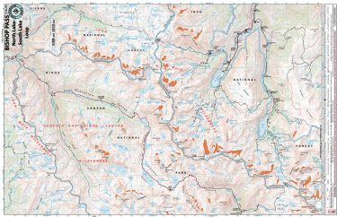
Bishop Pass- North Lake/South Lake Loop
Add to cart -
Cheeseboro Canyon
Add to cart -
Cuyamaca Rancho
Add to cart -
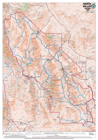
Death Valley Nat’l Park
Add to cart -
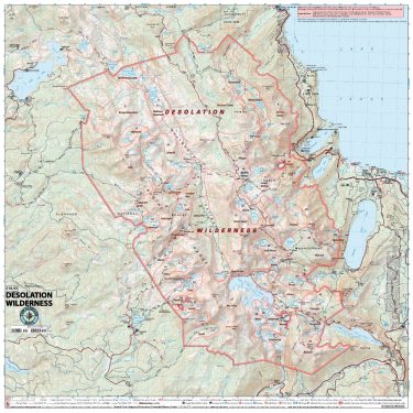
Desolation Wilderness
Add to cart -
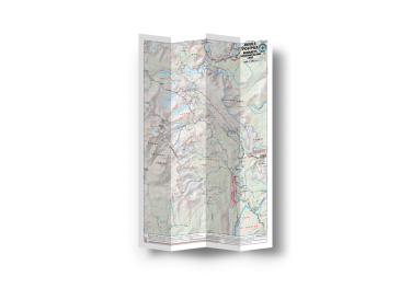
Devils Postpile – 1000 Island Lake
Add to cart -
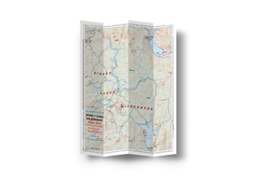
Dinkey Lakes Wilderness
Add to cart